Tag Archives: Weather

Doppler On Wheels - A Tour of a Mobile Radar

DOW7_Web

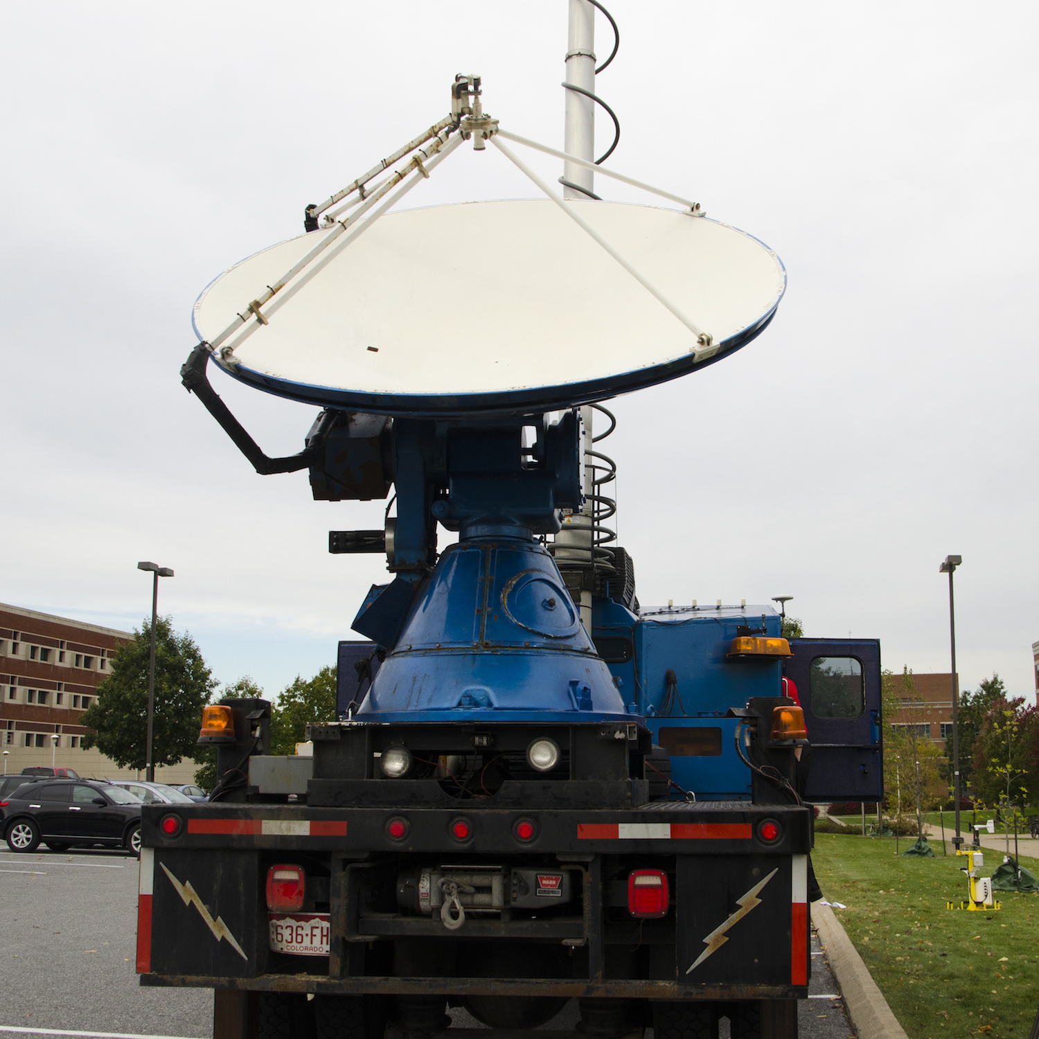
Recently, Penn State was lucky enough to have the "Doppler on Wheels" or DOW visit for two weeks through an NSF education grant! The truck, owned and operated by the Center for Severe Weather Research, is probably familiar to you if you have watched any of the storm chasing television shows or are interested in severe storms.  Dr. Yvette Richardson and Dr. Matt Kumjian were the faculty hosts and incorporated the radar into classes they are teaching.

I've always believed in getting students involved with data collection.  If students collect the data, they are attached to it and begin to see the entire scientific process.  Data doesn't just appear, real data is collected, often with complex instruments, and processed to remove various problems, corrections, etc.  It's not everyday that students get to collect data with a state-of-the-art radar though!

For this entry we're going to try a video format again.  Everyone seemed to like the last video entry (Are Rocks like Springs?).  Keep the feedback coming! It was a bit windy, but I've done what I can with the audio processing.  A big thanks to everyone who let me talk with them!  As always, keep updated on what's happening by following me on twitter (@geo_leeman).  This week I'll be off to New York to hear Edward Tufte talk about data visualization, so expect updates about that!

Highway to Hail

On the evening of April 6th, 2010 we had a nice little storm system move through central Oklahoma.  Short term models earlier in the day were breaking out a supercell around the OKC area about sunset and though those models had done exceptionally well with events in the previous days they missed the storm type here.

On the right is a radar image from that evening where the boundary is visible.  About this time the storm was moving over Norman producing moderately high winds, heavy rain, and small hail.

Above is an image I took right before the precipitation hit Norman, as the hail began to fall I noticed that it was a prime example of what we had already been discussing in cloud physics.

Hail grows around a hail embryo.  Commonly this is graupel or large drops, but sometimes insects have become entrained in the updraft and become the center of a hailstone!  Hail can undergo 'dry' and 'wet' growth implying things about where it is in the cloud at the time.  Without going into too much detail on this we can say that dry growth produces much less dense hail (more air and cloudy looking) while wet growth produces clear layers of almost solid ice.  Switching methods of growth produces the 'onion' like texture on the inside of a hailstone that so many falsely attribute to multiple trips through the updraft.  The trajectory of most hailstones (we think) is remarkably flat!  It is rare for them to recycle through the storm and when they do its not multiple trips.

The shape of the hailstone also tells us about its environment.  There are many excellent papers out on the topic.  After looking at the image above of some hailstones collected from this storm I encourage you to read more on the topic and next time it hails be sure to pick some up and think about the environment that could have formed it.  Could this stone have recycled? Could it have been warmer than it's environment (think latent heating)? Did it melt significantly on the way down?

National Weather Festival


2009 National Weather Festival - Located here at the NWC in Norman. I ended up on KOCO thanks to Paul! The RASP instrument package and my tahoe won:

1st- Most Unique
2nd- Best Looking
2nd- Most Cutting Edge